Part C
Topographic Map of the Desert View Quadrangle
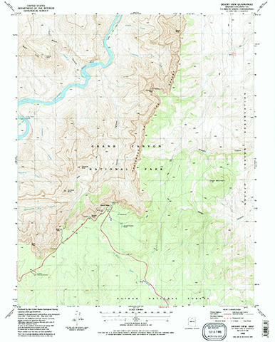
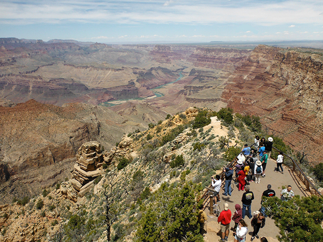
The Desert View 7.5 Minute Quadrangle includes the "bend" area of the Colorado River in the eastern Grand Canyon. Located along the South Rim, Desert View is a popular tourist vista point and serves as the gateway to the eastern Grand Canyon National Park.
|
Figure 2-20. The Desert View 7.5 minute topographic map (left). The view from the Watchtower at Desert View of the eastern Grand Canyon area (right). |
|
Viewing Map PDFs
In this lab, we will start viewing various types of maps using PDFs, which are almost universally compatible with various platforms (PC, Mac), operating systems, and browsers. To view the maps, click on the appropriate link. This will open a map within a new browser tab/window.
You can move back and forth between the question box and the PDF map window as necessary (without closing the question box. You can even exit out of a Quiz Me! question without answering it. Just don't close the window with your lab activity (the program does not save your answers and you will have to start over)!
You will have the ability to zoom in/out using the zoom controls. You can also zoom use keyboard shortcuts. On a Mac, press the "Command" and "+" keys to zoom in, or the "Command" and "+" keys to zoom out. On a PC, press the "CTRL" and "+" keys to zoom in, or the "CTRL" and "-" keys to zoom out. You can pan across the map using the scroll bars or grabbing and dragging the image.
You can also right-click on the link above to save the .pdf file to your computer where you can use a PDF reader (like Adobe Acrobat) to open the map. A PDF reader typically allows better viewing control/options than those provided by most browsers.
Answer Quiz Me! questions C27 through C40 using the Desert View, Arizona Quadrangle topographic map (see the PDF link below). Do not use the Figure 2.20 image.
|
Desert View, Arizona Quadrangle topographic map |
|
You can move back and forth between each Quiz Me! question box and the map window as necessary (without closing the question box). |
![]()
![]()
![]()
![]()
![]()
![]()
![]()
![]()
![]()
![]()
![]()
![]()
![]()
![]()

