Prelude
The scenery we see forms as a result of many different geologic processes (like sedimentation, volcanic eruptions, weathering, erosion, uplift, etc.). Ultimately, understanding the landscapes helps to increase our knowledge of these geologic processes. Landscapes can be represented by various media, including: ground and aerial pictures, two-dimensional (2D) contour (topographic) maps and profiles, three-dimensional (3D) models, etc. In this lab, you will learn to interpret some of these media, which will serve as a foundation for subsequent activities about the importance of landscapes in geologic studies.
|
|
|
|
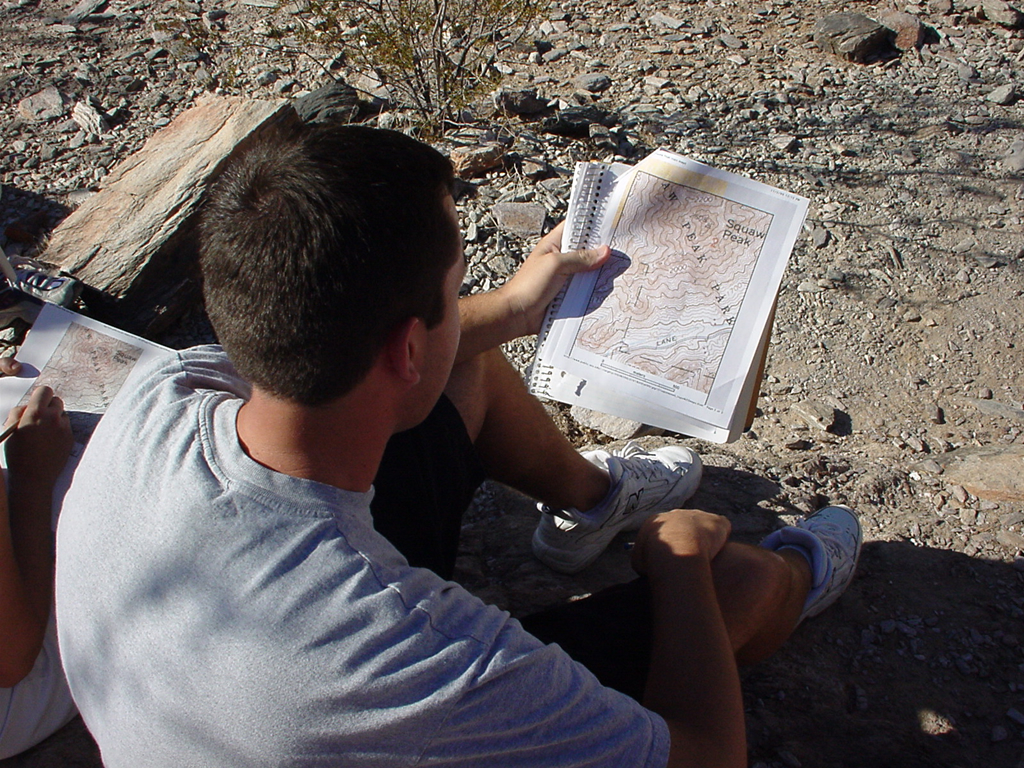
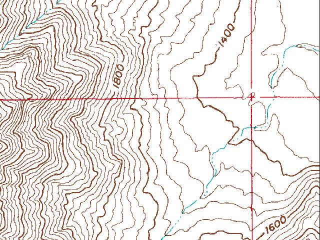
Figure 2-1. Reading topographic maps is an important skill to have when hiking. A student reads a map along the summit trail at Piestewa Peak (left), and a portion of a typical topo map (right). Remember to click on the highlighted images to see larger versions. |
|
What Will You Do Today?
|
|
Read and interpret different types of images and maps that can be used to describe the landscape of the world around us |
A. Reading Landscapes - Review some of the important aspects of how to read and interpret topographic maps
B. Determining Distances & Finding Places - Learn how to use different map scales and coordinate systems
C. Topographic Map of the Desert View Quadrangle - Practice reading and interpreting a topo map from the Grand Canyon
D. Correlating Maps & Images - Read and correlate a topographic map with a landscape image