Prelude
Across Arizona, rock layers are exposed that have different orientations, from flat-lying to gently tilted to steeply tilted. Many rock units are even folded-up like a crumpled rug. We can use some basic geologic principles (superposition, strike and dip, etc.) to describe the geometry of these various rock layers so we can ultimately determine the geologic history of the rocks and structures. By measuring the orientation of rock layers on the Earth's surface, we can project them into the subsurface and interpret what geologic structures may be present. This is an extremely important exploration tool for locating underground mineral, petroleum, or water resources.
|
|
|
|
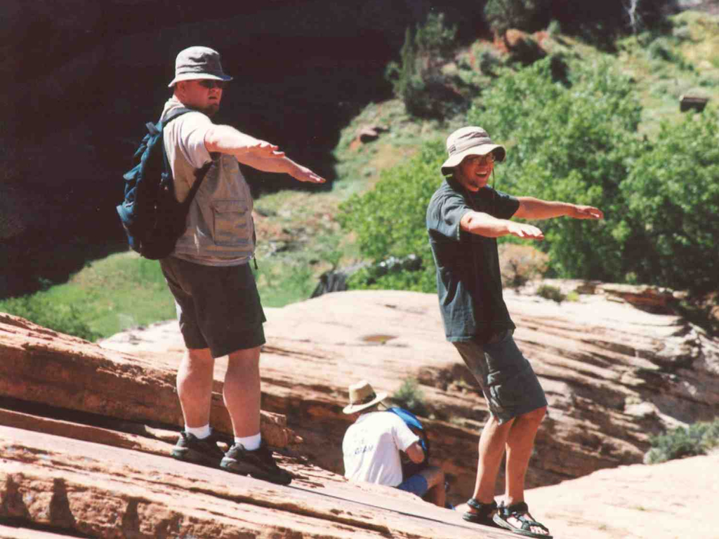
Figure 9-1. Structural geology in the field. MCC students Scott and Ben pose as strike and dip symbols in Canyon De Chelly, Arizona (left). Remember to click on the highlighted images to see larger versions. |
|
What Will You Do Today?
|
|
Describe various geologic structures and interpret their origin in images, diagrams, and geologic maps |
A. Strike and Dip - Get familiar describing the orientation of rock layers using strike and dip
B. Identifying Geologic Structures - Get to know your anticlines from your synclines
C. Structures in Geologic Maps - Read and interpret geologic structures units from the Appalachian Mountains
D. Geology of Faultline Canyon - A "faulty" sequence diagram puzzle