Part B
Quaternary Geology & Life Forms
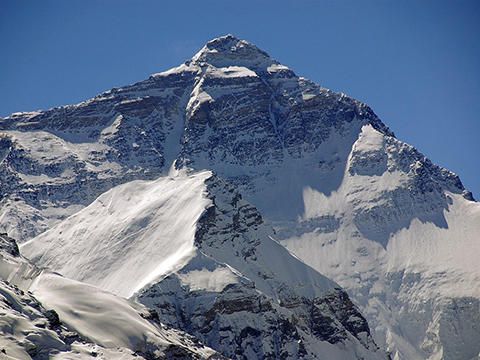
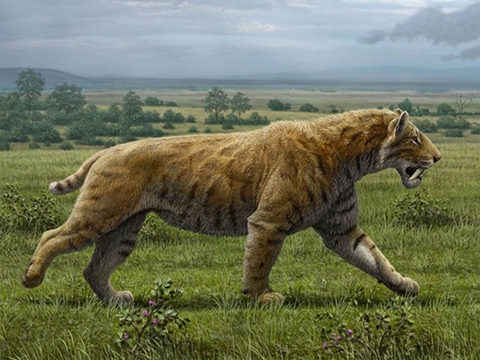
Formed in the youngest Period of geologic time, Quaternary rocks and structures are widely exposed all across North America. Major landscape alterations occurred during the last few million years as the Neogene Ice Age deepened in the Pleistocene Epoch. Life adapted to the colder climate, producing ice-age faunas that included famous beasts like the wooly mammoth and the saber-toothed cat.
|
Figure 15-4. Quaternary landscapes and life forms. The Quaternary Period witnessed the creation and evolution of many types of mountains, both big and small, tectonic and volcanic: the north face of Mount Everest (left). |
|
A Correlated History of Earth: Quaternary
Time for one final look at the A Correlated History of Earth poster for a review of tectonics, rocks, impact events, and life forms (see Figure 15-5). Today's lab focuses on the uppermost part of the poster.
|
|
|
|
Figure 15-5. The A Correlated History of Earth poster (left) and the portion that we will focus on in this lab (right). |
|
Answer Quiz Me! questions B04 through B12 using the A Correlated History of Earth poster (see the PDF link below). Today's lab will focus on the Quaternary portion of the poster.
|
A Correlated History of Earth |
|
See the symbol key for definitions of the many map symbols and features. |
Tectonics, Classic Localities, & Impact Events
![]()
![]()
![]()
![]()
![]()
Life Forms
![]()
![]()
![]()
![]()
Quaternary Geology of the Western U.S.
A few major landscape changes occurred during the last few million years that include the Quaternary Period. These were largely due to the intensification of the Neogene Ice Age during the Pleistocene, which included dozens of longer glaciations separated by shorter interglacial period. Continental ice sheets spread out from Canada, Greenland, and Scandinavia, while alpine glaciers carved distinctive landforms in many of the world's mountain belts. Large lake systems occuppied parts of the western U.S. and ice-marginal rivers flowed next to the broad continental ice sheets. Sea levels dropped by hundreds of feet, exposing land bridges between formerly isolated land areas. The Holocene Epoch marks the latest interglacial warm period, where sea levels have risen, significantly changing shorelines in low-lying areas. Even though it doesn't feel like it, the Quaternary Ice Age continues to this day.
|
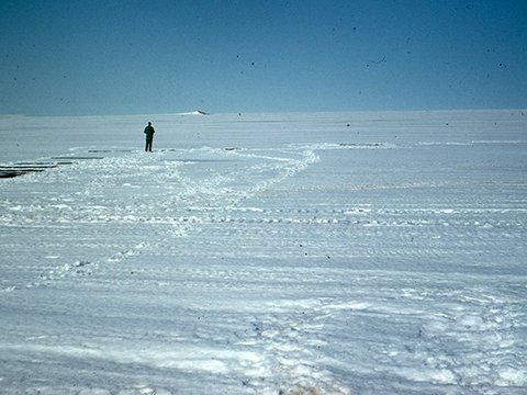
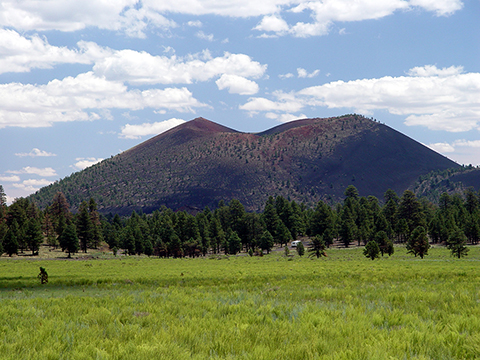
Figure 15-6. Fire and ice: local volcanic fields erupted across the western U.S. during the Pleistocene ice age. The desolate vista atop the Greenland ice sheet was a likely common view across much of North America and Canada during the Pleistocene (left). |
|
Go to the Paleogeography and Geologic History of the Southwestern U.S. page to answer Quiz Me! questions B13 through B16 (see the PDF link below). Refer only to the Quaternary text and maps in the Cenozoic section.
|
Paleogeography and Geologic History of the Southwestern U.S. |
|
Tan/brown represent land areas, light blue represent shallow marine areas, and dark blue represent deep marine areas. |
![]()
![]()
![]()
![]()


