Part C
Hartford Basin & Zion National Park Geology
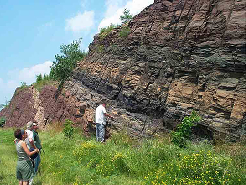
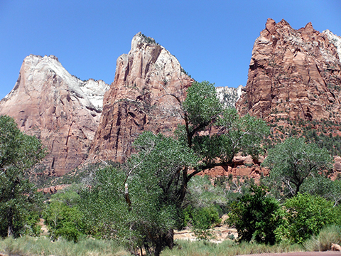
Mesozoic rocks were deposited all across the supercontinent of Pangea. The Mesozoic rifting and break-up of Pangea is displayed in eastern North America, in places like the Hartford Basin of north-central Connecticut. In southwestern North America, the rocks exposed in Zion National Park record the desert- and stream-dominated sedimentary environments of the Triassic and Jurassic Periods.
|
Figure 12-7. Jurassic rocks are exposed across both eastern and western North America. The Jurassic East Berlin Formation consists of a sequence of black shale, gray mudstone, and red sandstone that accumulated in a deep, rift basin lake in the Hartford Basin (left). |
|
Bedrock Geologic Map of Connecticut
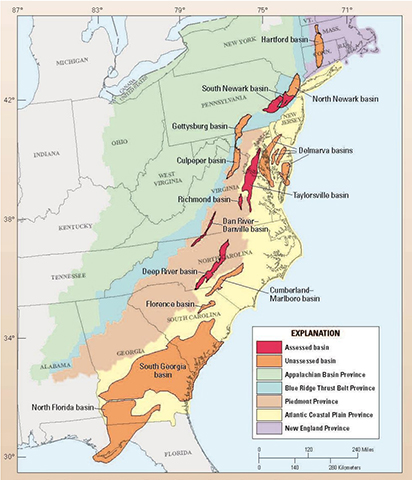
The Hartford Basin is one of many Triassic-Jurassic rift basins located on the east coast of the North American continent. These basins formed as a direct result of the evolution of the Atlantic Ocean basin. Many of these structural basins are called half-graben as they are asymmetrical in cross section and a bordered by a major normal fault on one side (like a trap door). These basins filled with stream and lake sediments, and many of the rock formations contain important plant and animal fossils.
|
Figure 12-8. The Hartford Basin is one of many Triassic-Jurassic structural basins on the east coast of North America. The Hartford Basin is the northernmost of North America's Triassic-Jurassic rift basins (left). |
|
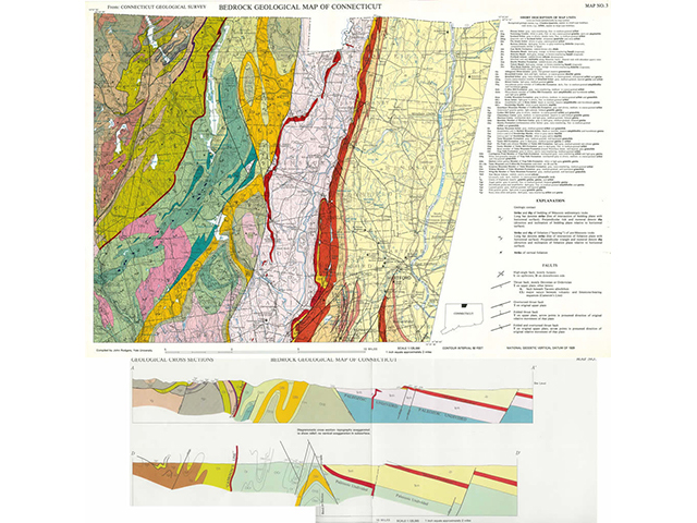
Answer Quiz Me! questions C19 through C27 using the Bedrock Geological Map of Connecticut (see the PDF links below). If necessary, refer to your rock identification charts (Igneous HERE / Metamorphic HERE / Sedimentary HERE).
|
Bedrock Geological Map of Connecticut |
|
Arkose is a type of sandstone. The Description of Map Units on this map is listed in alphabetical order of the map unit symbol, not age order as is usually the case. |
|
Bedrock Geological Map of Connecticut - Cross Sections |
Description of Map Units
![]()
![]()
![]()
Geologic Map
![]()
![]()
![]()
![]()
Cross Sections
![]()
![]()
Geologic Map of Zion National Park
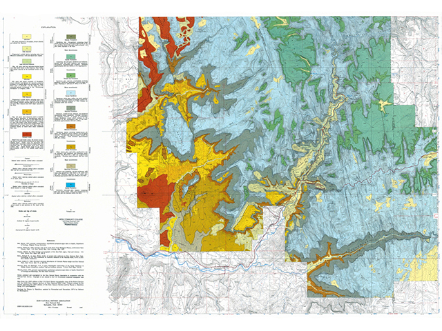
Southwestern Utah displays magnificent exposures of Mesozoic sedimentary rocks. These layers are exposed across the plateaus and canyon walls in and around Zion National Park and include massive, cliff-forming units like the Jurassic Navajo Sanstone. Let's check out the geology of the area using the Geologic Map of Zion National Park.
|
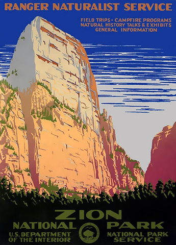
Figure 12-9. A circa 1938 National Park Service retro poster for Zion National Park (left). Mesozoic and Cenozoic geology displayed on side 1 of the Geologic Map of Zion National Park (right). |
|
Answer Quiz Me! questions C28 through C44 using the Geologic Map of Zion National Park (see the PDF links below). If necessary, refer to your rock identification charts (Igneous HERE / Metamorphic HERE / Sedimentary HERE).
|
Geologic Map of Zion National Park - Side 1 Geologic Map of Zion National Park - Side 2 |
|
This is a two-sided map, with the map unit explanation on one side and the cross sections on the other |
Explanation
![]()
![]()
![]()
![]()
![]()
![]()
![]()
Geologic Map
![]()
![]()
![]()
![]()
![]()
![]()
![]()
![]()
![]()
Cross Sections
![]()
![]()
