Part B
Early Paleozoic Geology & Life Forms
Cambrian, Ordovician, Silurian, and Devonian rocks are exposed around the world and represent the varied geologic settings that existed during the Early Paleozoic. These rocks also contain a diverse array of marine organisms, which detail the proliferation of life since the end of the Precambrian.
|
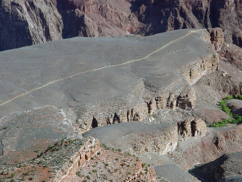
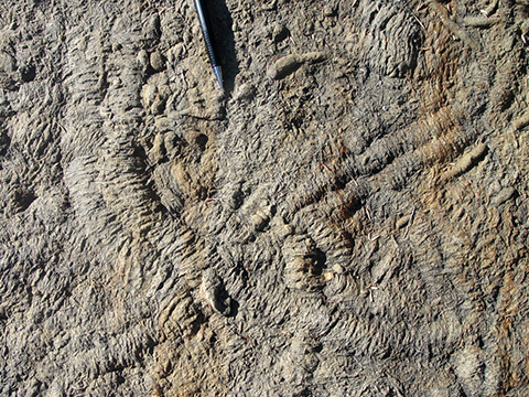
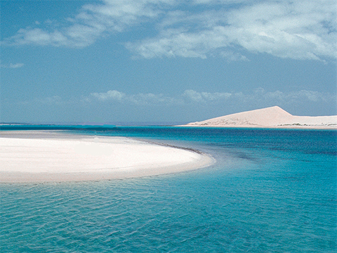
Figure 10-4. The Cambrian rocks in the Grand Canyon were deposited in marine a mostly shallow marine environment. The Cambrian Tapeats Sandstone and Bright Angel Shale are exposed along the Plateau Point trail (left) |
|
A Correlated History of Earth
Time again to review the poster A Correlated History of Earth (Figure 10-5), where we will focus on the first four periods of the Paleozoic Era in the bottom half of the poster.
|
|
|
|
Figure 10-5. The information-rich poster A Correlated History of Earth. The image on the right shows the portion of the poster that we will concentrate on in this lab. |
|
Answer Quiz Me! questions B06 through B15 using the A Correlated History of Earth poster (see the PDF link below). Refer to the Early Paleozoic (Cambrian through Devonian) section to answer the questions.
|
A Correlated History of Earth |
|
See the symbol key for definitions of the many map symbols and features. |
Tectonics & Rock Formations
![]()
![]()
![]()
![]()
Life Forms
![]()
![]()
![]()
![]()
![]()
![]()
Early Paleozoic Paleogeography
The Early Paleozoic across Laurentia began as a time of warm, shallow seas. Arizona was part of a passive margin on the western end of the continent. This was mirrored on the eastern side, with a broad continental shelf that stretched into Iapetus, the ocean to the east. However, by the end of the Ordovician, this situation would change on both coasts, as subduction-related tectonism would produce the first Phanerozoic orogenies.
|
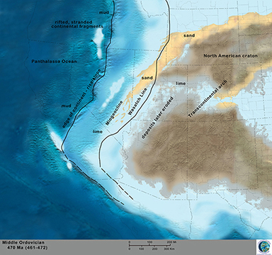
Figure 10-6. Paleogeographic reconstructions are interpretations of Earth's past landscapes. Dr. Ron Blakey's model of western Laurentia during the Ordovician (left). |
|
To learn more about Early Paleozoic paleogeography, let's go to the Paleogeography and Geologic History of the Southwestern U.S. page to answer Quiz Me! questions B16 through B20 (see the link below). Refer only to the Cambrian, Ordovician, Silurian, and Devonian text and maps in the Early Paleozoic section.
|
Paleogeography and Geologic History of the Southwestern U.S. |
|
Tan/brown represent land areas, light blue represent shallow marine areas, and dark blue represent deep marine areas. |
![]()
![]()
![]()
![]()
![]()


