Part D
Phoenix Area Geology
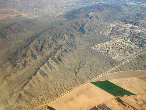
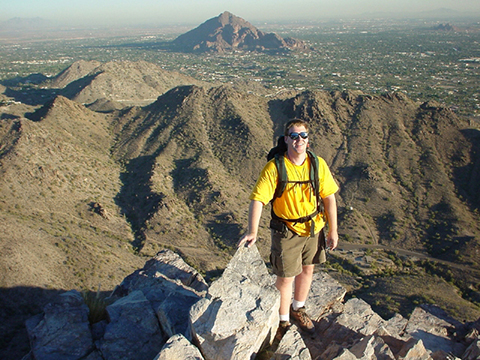
Much of southern Arizona's geology and distinctive Basin and Range landscape formed during the Miocene, a period of significant crustal extension. Oligocene and Miocene igneous and sedimentary rocks are well exposed in mountains and buttes all across Phoenix. In the Tempe area, this includes Miocene intrusive igneous rocks at South Mountain, as well as volcanic and sedimentary rocks exposed in various buttes northward to Camelback Mountain. These are erosional remnants of an older, more mountainous landscape and provide clues to the area's Paleogene and Neogene geologic history.
|
Figure 14-9. A few Phoenix geologic landmarks. Looking northeast along the axis of South Mountain from above (left). |
|
Geologic Map of the Tempe Quadrangle
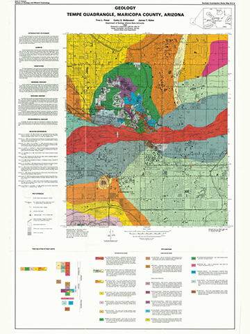
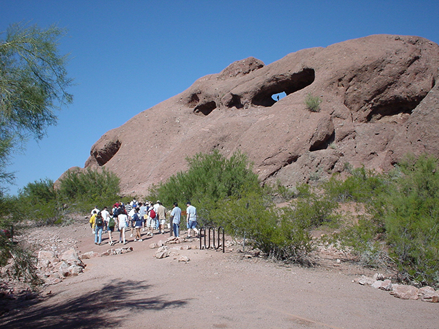
The geology of the Tempe Quadrangle, while dominated by Quaternary stream deposits related to the Salt River, includes Proterozoic and Tertiary bedrock exposures (see Figure 14-10). These erosional remnants of an older, more mountainous landscape provide clues to the geologic history of the Paleogene and Neogene Periods (i.e., the Tertiary Period). Tertiary rocks are exposed in the buttes located along I-10, on the campus of Arizona State University, and Papago Park (which includes the Phoenix Zoo and Desert Botanical Gardens).
|
Figure 14-10. Geology of the Tempe area of Phoenix. At left, the Geologic Map of the Tempe Quadrangle. |
|
Answer Quiz Me! questions D38 through D45 using the Geology of the Tempe Quadrangle, Maricopa County, Arizona (see the PDF link below). If necessary, refer to your rock identification charts (Igneous HERE / Metamorphic HERE / Sedimentary HERE).
|
Geology of the Tempe Quadrangle |
|
Arkose and arenite are types of sandstone and latite is a type of andesite. |
Explanation
![]()
![]()
![]()
![]()
Geologic Map
![]()
![]()
![]()
![]()
![]()
Time Relation of Map Units
![]()
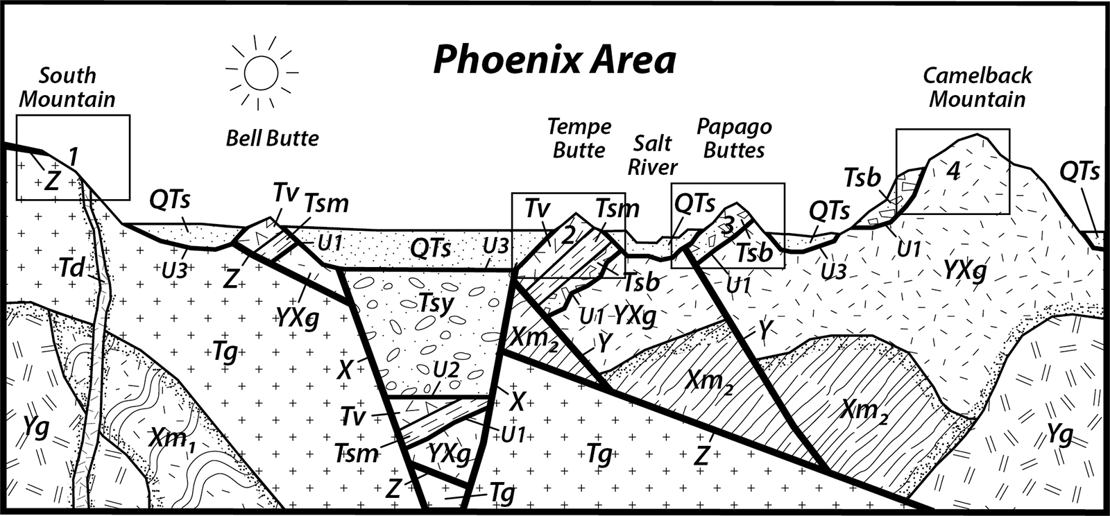
Phoenix Area Cross Section
Let's look more closely at the geology along a transect between South Mountain and Camelback Mountain.
Answer Quiz Me! questions D46 through D50 using the Phoenix Area sequence diagram (Figure 14-11). Print a hard-copy of the diagram if necessary (see the link below for a printable PDF version). Also refer to the Key to Map Fill Patterns (see PDF HERE) and your rock identification charts.
![]()
![]()
![]()
![]()
![]()
After finishing this lesson, complete the form below:
