Part C
Geology of Bryce Canyon
As the Rocky Mountains rose during the Late Cretaceous to Early Paleogene Laramide Orogeny, several large intermontane lake basins were created as a result. The Claron Formation is a fluvial & lacustrine sedimentation unit deposited in and around Lake Claron of southwestern Utah. This unit forms the Pink Cliffs of the Grand Staircase National Monument, Bryce Canyon National Park, and Cedar Breaks National Monument.
|
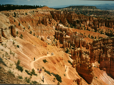
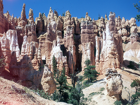
Figure 14-7. Early Cenozoic geology of southwestern Utah's Bryce Canyon National Park. The Pink Limestone Member of the Claron Formation along the Navajo Loop Trail at Sunset Point (left). |
|
Geologic Map of Bryce Canyon National Park
|
|
|
|
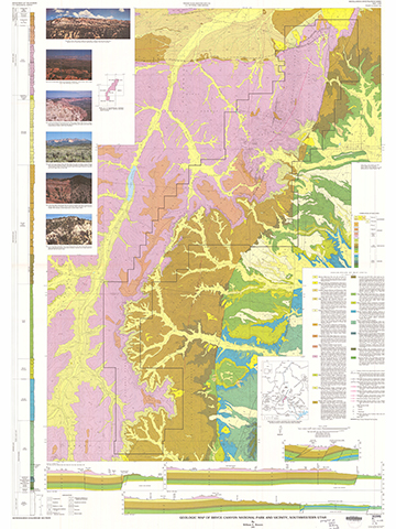
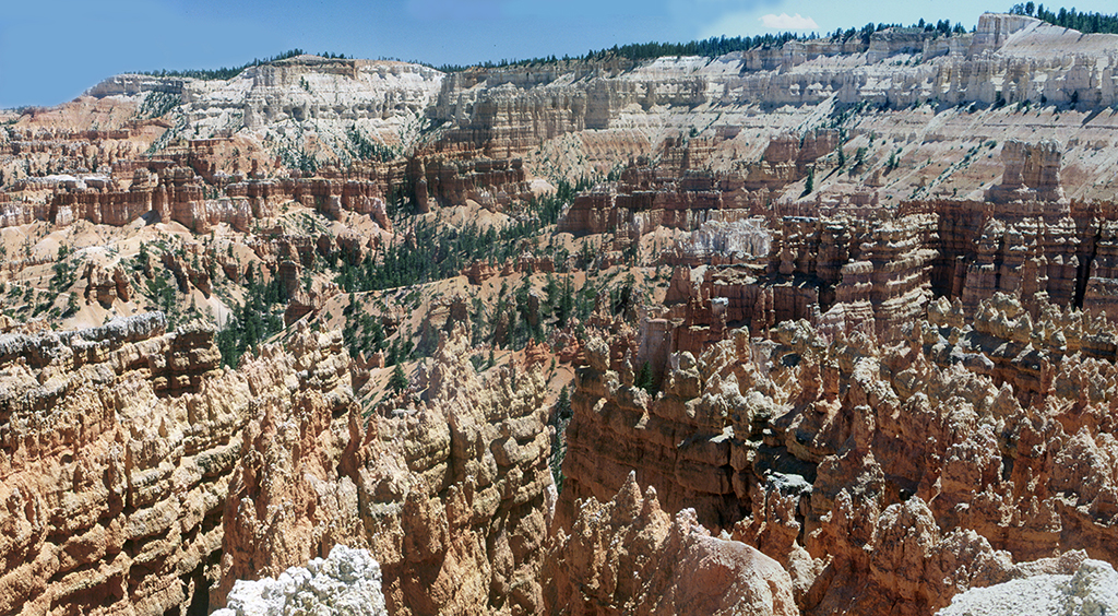
Figure 14-8. Bryce Canyon National Park. The Geologic Map of Bryce Canyon NP (left). A panorama of the Bryce Canyon area (right). |
|
Answer the questions using the Geologic Map of Bryce Canyon National Park and Vicinity (see the PDF link below). If necessary, refer to your rock identification charts (Igneous HERE / Metamorphic HERE / Sedimentary HERE).
|
Geologic Map of Bryce Canyon National Park and Vicinity |
Index Map
![]()
Description of Map Units
![]()
![]()
Geologic Map
![]()
![]()
![]()
![]()
![]()
From its intersection with Utah Highway 12 (north-central map area), the Bryce Canyon National Park entrance road heads south and affords access to Visitor's Center, the Bryce Canyon village, and a host of scenic overlooks.
![]()
![]()
![]()
![]()
![]()
Cross Section C-C'
![]()
![]()


