Part B
Paleogene & Neogene Geology & Life Forms
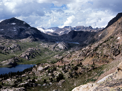
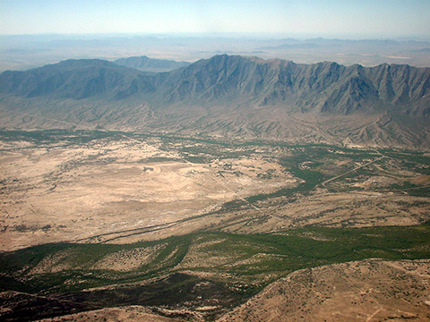
Significant paleogeographic changes occurred during Paleogene and Neogene Periods, as the western margin of North America transitioned from the compressional, subduction-related tectonics of the Laramide Orogeny to the post-subduction extensional tectonics that formed the Basin and Range landscape (see Figure 14-4).
|
Figure 14-4. Paleogene and Neogene landscapes of the western U.S.A.: a view of the Beartooth Mountains in the Absaroka-Beartooth Wilderness of the northern Rocky Mountains of Montana's (left), and the Sierra Estrella mountain range located southwest of Phoenix in the Basin and Range province (right). |
|
A Correlated History of Earth: Paleogene & Neogene
Time for another look at the A Correlated History of Earth poster to review tectonic events, rocks, and life forms (see Figure 14-5). Today's lab will focus on the top part of the poster. Be sure to refer to the symbol key for defintions of the many map symbols and features.
|
|
|
|
Figure 14-5. The A Correlated History of Earth poster (left) and the portion that we will focus on in this lab (right). |
|
Answer Quiz Me! questions B09 through B15 using the A Correlated History of Earth poster (see the PDF link below). Today's lab will focus on the Paleogene and Neogene portion of the poster.
|
A Correlated History of Earth |
|
See the symbol key for definitions of the many map symbols and features. |
Tectonics, Classic Localities, & Impact Events
![]()
![]()
![]()
![]()
![]()
Life Forms
![]()
![]()
Paleogene & Neogene Paleogeography
|
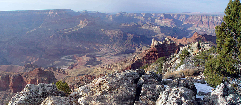
Figure 14-6. Much of the modern Grand Canyon was carved by the ancestral Colorado River and its tributaries during the latest Miocene and Pliocene Epochs. |
Go to the Paleogeography and Geologic History of the Southwestern U.S. page to answer Quiz Me! questions B16 through B20 (see the PDF link below). Refer only to the Paleogene and Neogene text and maps in the Cenozoic section.
|
Paleogeography and Geologic History of the Southwestern U.S. |
|
Tan/brown represent land areas, light blue represent shallow marine areas, and dark blue represent deep marine areas. |
![]()
![]()
![]()
![]()
![]()


