| |
|
|
|
Colorado
River |
Images |
| Whitmore
Wash to Gneiss Canyon |
|
Saturday
June 5, 2004 (Day 8) |
|
 |
Whitmore
Wash camp (Leighty) Mile 188.0 - A typical camp set-up. |
 |
Lava-filled
channel (Leighty) |
 |
Pumpkin
Spring (Leighty) Mile 212.9 - A.k.a. "Charlie Brown's Great Pumpkin" and "Mail Box". The travertine is orange-colored due to the high concentrations of sulfur in the spring water. Arsenic is also present in the spring water. Thus, it's not recommended for drinking. |
 |
Pumpkin
pool (Leighty) |
 |
Tapeats
potholes (Leighty) Mile 212.8 - During higher river levels, turbulent flow formed these potholes in the Tapeats Sandstone. Most of the potholes are less than a meter in diameter. |
 |
Crevice
rattler (Leighty) Mile 212.9 - This resident of a cool crack in the Tapeats Sandstone. |
 |
Remnant
lava flow (Leighty) |
 |
Three
Springs Canyon Pictographs (Leighty) Mile 215.6 - Two pictographs on the Three Springs Canyon hike. The greatest amount of displacement (about 2,400 feet) on the Hurricane Fault occurs about 1.5 miles east of here. |
 |
220-Mile
Lunch (Leighty) |
 |
Diamond
Peak (Leighty) Mile 222.8 - The elevation of Diamond Peak is 3512 feet, about 2100 feet above the river. 224-Mile Canyon enters the river just upstream of Diamond Peak. Proterozoic rocks are visible at river level beneath Diamond Peak, with the Redwall Limestone forming the peak. The Hurricane Fault trends roughly parallel to the river here, just to the east (left) of Diamond Peak. It has several thousand feet of west-side-down displacement. The hills to the left are Proterozoic rocks that are much higher than the same rocks near the river under Diamond Peak. |
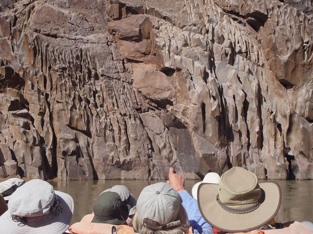 |
Fluting
(Leighty) |
| Previous day | Day
8 |