Part C
Sedimentary Rocks in Geologic Maps
Sedimentary rocks are abundant in the desert Southwest, including much of Arizona and Utah. For this and other reasons, northern Arizona and southern Utah are some of the best places in the world to study sedimentary rocks.
|
|
|
|
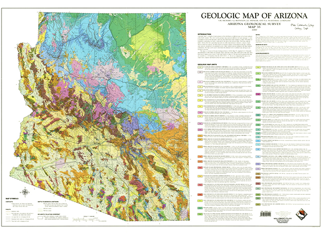
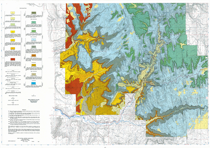
Figure 7-15. The Geologic Map of Arizona (left) and the Geologic Map of Zion National Park (right). |
|
Geologic Map of Arizona
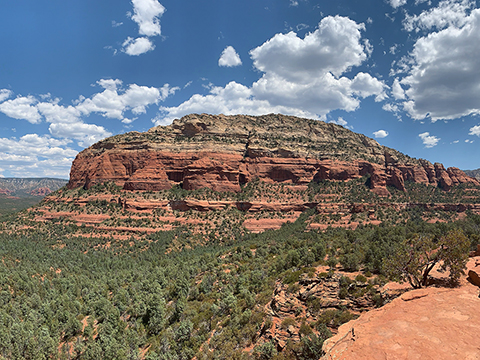
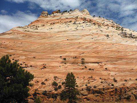
Sedimentary rocks are abundant in Arizona and form a wide range of landscapes, especially in the Colorado Plateau of northern Arizona and southern Utah (see Figure 7-16).
|
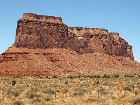
Figure 7-16. Sedimentary rocks highlight iconic locations in northern Arizona and southern Utah. The Schnebly Hill Formation and Coconino Sandstone compose the famous landscapes of Sedona (left). |
|
Answer Quiz Me! questions C36 through C40 using the Geologic Map of Arizona (see the PDF link below).
|
Geologic Map of Arizona |
Explanation of Geologic Map Units
![]()
![]()
![]()
Geologic Map
![]()
![]()
Geologic Map of Zion National Park
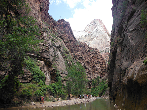
One of Utah's many national parks, Zion is located in southwestern Utah and includes a spectacular landscape of massive cliffs and deep slot canyons (see Figure 7-17). Mesozoic sedimentary rock underlies most of the area, with the Jurassic Navajo Sandstone being the most striking. This highly cross bedded quartz arenite (sandstone) unit is several thousand feet thick and is the main cliff-former in the area. The Virgin River and its tributaries form impressive slot canyons in the sedimentary layering, including at places like The Narrows.
|
Figure 7-17. The sedimentary terrain of Zion National Park. The massive, highly cross bedded Navajo Sandstone dominates the park's landscape (left). |
|
Answer Quiz Me! questions C41 through C45 using the Geologic Map of Zion National Park (see the PDF link below).
|
Geologic Map of Zion National Park |
Explanation
![]()
![]()
![]()
Geologic Map
![]()
![]()
