Part D
Colorado Plateau
The Colorado Plateau of northern Arizona is a high desert plateau with numerous mesas buttes and volcanic fields. Although this physiographic province has the highest average elevation, the landscape is relatively flat, with a few large volcanic mountains (e.g., San Francisco Peaks). A few large streams (e.g., Colorado River, Little Colorado River, etc.) flow across the Plateau, sometimes forming deep stream canyons (e.g., the Grand Canyon). The geology is dominated by flat-lying Paleozoic and Mesozoic sedimentary rocks with scattered Late Cenozoic volcanic fields.
|
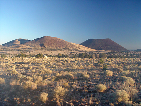
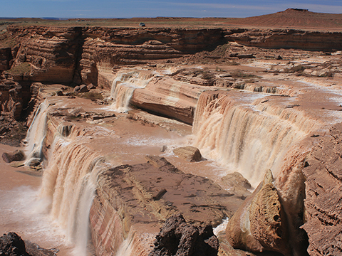
Figure 12-8. The landscape of the Colorado Plateau includes many spectacular geologic localities. SP Mountain looming behind an older cinder cone in the San Francisco volcanic field of northern Arizona (left). |
|
Geologic Map of the Flagstaff 1°x 2° Quadrangle
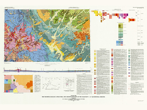
A lifetime of geologic exploration is possible across northern Arizona. Part of which is covered by the Geologic Map of the Flagstaff 1° x 2° Quadrangle (Figure 12-9) stretches from the Grand Canyon to Meteor Crater, and from the San Francisco volcanic field to the Hopi Buttes.
|
Figure 12-9. Northern Arizona's Colorado Plateau The Geologic Map of the Flagstaff 1° x 2° Quadrangle (left). |
|
Answer Quiz Me! questions D36 through D50 using the Geologic Map of the Flagstaff 1°x 2° Quadrangle (see the PDF link below). Look carefully at the geologic map and cross section, the Correlation of Map Units, the Description of Map Units, etc., and make use of any other provided hints. Also, feel free to refer to your rock identification charts.
|
Geologic Map of the Flagstaff 1°x 2° Quadrangle |
Flagstaff Area
![]()
![]()
![]()
![]()
![]()
![]()
![]()
Northern Painted Desert Area
![]()
![]()
![]()
![]()
![]()
Hopi Buttes Area
![]()
![]()
Meteor Crater
![]()
After finishing this lesson, complete the form below:


