Part C
Transition Zone
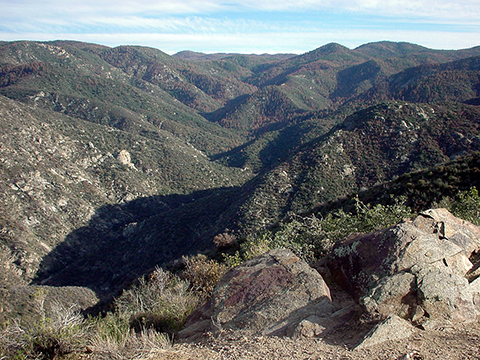
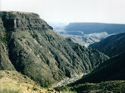
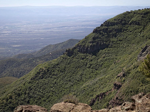
The Transition Zone of central Arizona is generally a mountainous region of rugged terrain that includes the Bradshaw Mountains, New River Mountains, Mazatzal Mountains, Sierra Ancha, etc. Even though the Transition Zone has higher average elevation than the Basin and Range, several large valleys (e.g., Verde, Payson, Safford, etc.) exist in this high-relief terrain. The Mogollon Rim is a prominent escarpment that forms much of the Transition Zone's northern boundary with the Colorado Plateau to the north. Several rivers (e.g., the Agua Fria, Verde, Salt, etc.) flow from the higher Mogollon Rim area across the Transition Zone to the lower Basin and Range. The geology of the mountains is mostly Proterozoic igneous and metamorphic rocks and Tertiary volcanic rocks. The basins are filled with Quaternary and Tertiary sedimentary debris eroded from the mountains.
|
Figure 12-6. As its name implies, the geology of the Transition Zone resembles its neighboring physographic provinces. The Horsethief Canyon area in the rugged Bradshaw Mountains in central Arizona (left). |
|
Geologic Map of the Mingus Mountain Quadrangle
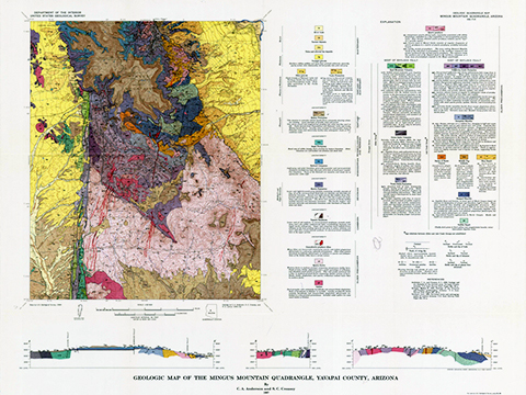
The Geologic Map of the Mingus Mountain Quadrangle (Figure 12-7) is located between Prescott and the Verde Valley. The Black Hills trend across this map, with SR 89A connecting Precott Valley to the west with Cottomowood and Jerome to the east.
|
Figure 12-7. Arizona's own Black Hills are located in the Transition Zone in central Arizona. The Geologic Map of the Mingus Mountain Quadrangle (left). |
|
Answer Quiz Me! questions C21 through C35 using the Geologic Map of the Mingus Mountain Quadrangle (see the PDF link below). Also, feel free to refer to your rock identification charts.
|
Geologic Map of the Mingus Mountain Quadrangle |
Humboldt Area
![]()
![]()
![]()
Mingus Mountain Area
![]()
![]()
![]()
![]()
![]()
![]()
![]()
Cherry Area
![]()
![]()
![]()
![]()
![]()


