Part B
Physiography of the Death Valley Area
Arizona's semi-arid climate means that water resources are limited and their value is always at a premium. Let's look at some of the ways this precious resource is managed.
|
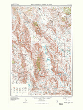
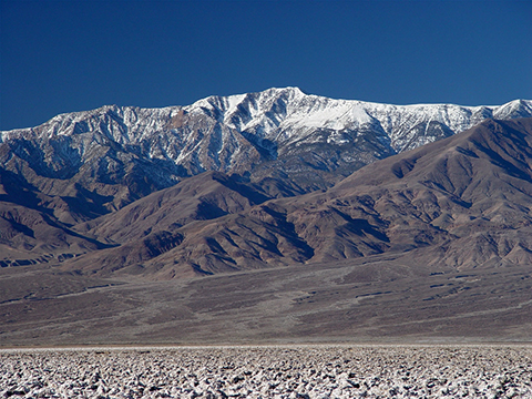
Figure 15-3. Landscapes of Death Valley National Park. A topographic map of Death Valley National Park and surrounding areas (left). |
|
Topographic Map of the Death Valley area
Answer Quiz Me! questions B6 through B18 using the Topographic Map of the Death Valley Area (see the PDF link below).
|
Topographic Map of the Death Valley Area |
Map Scale & Contour Interval
![]()
![]()
![]()
Explanation
![]()
![]()
Topographic Map
Find the village of Death Valley, located along Highway 190 near the center of the map (near 36° 26' N, 116° 50' W). This area is now called Furnace Creek, and it lies roughly in the center of Death Valley. The part of Death Valley to the south of Furnace Creek can be referred to as southern Death Valley, and the area northwest of it northern Death Valley.
Southern Death Valley
![]()
![]()
![]()
![]()
![]()
Northern Death Valley
![]()
![]()
![]()

